Field School on the Frame
Itineraries, Interpretation, and Intervention in the American West
w/Aurora Tang
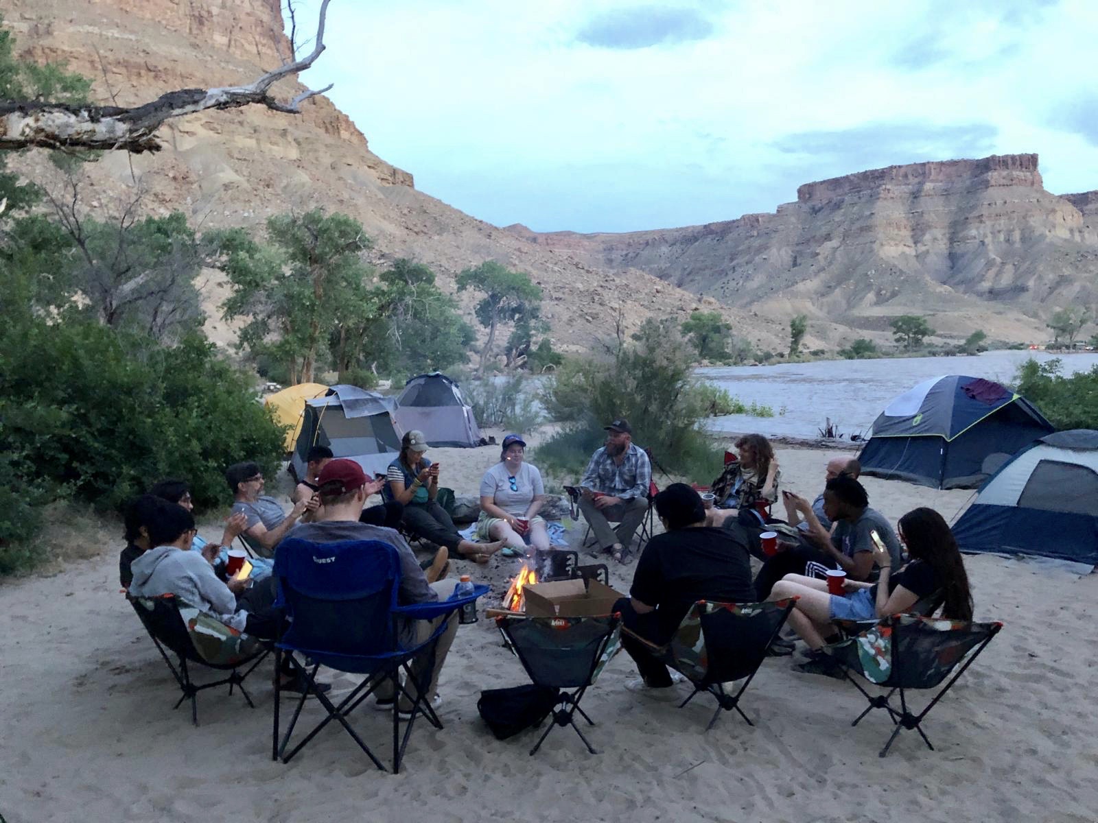
Embark on a 10-day road trip through the American West, studying and practicing diverse modes of reading, sensing, and understanding a range of physical landscapes, land uses, and frames.
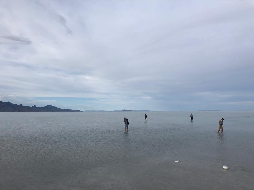
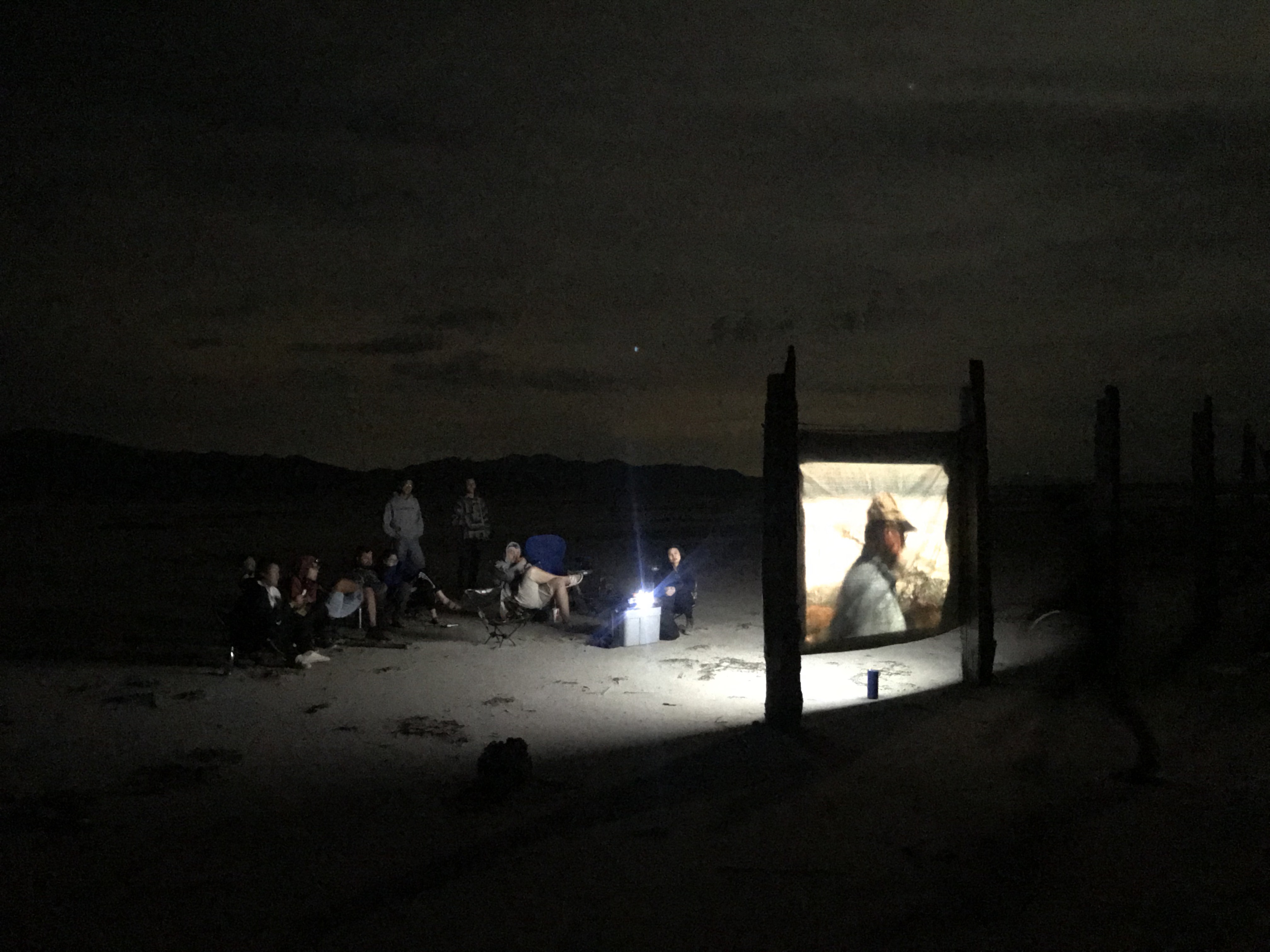
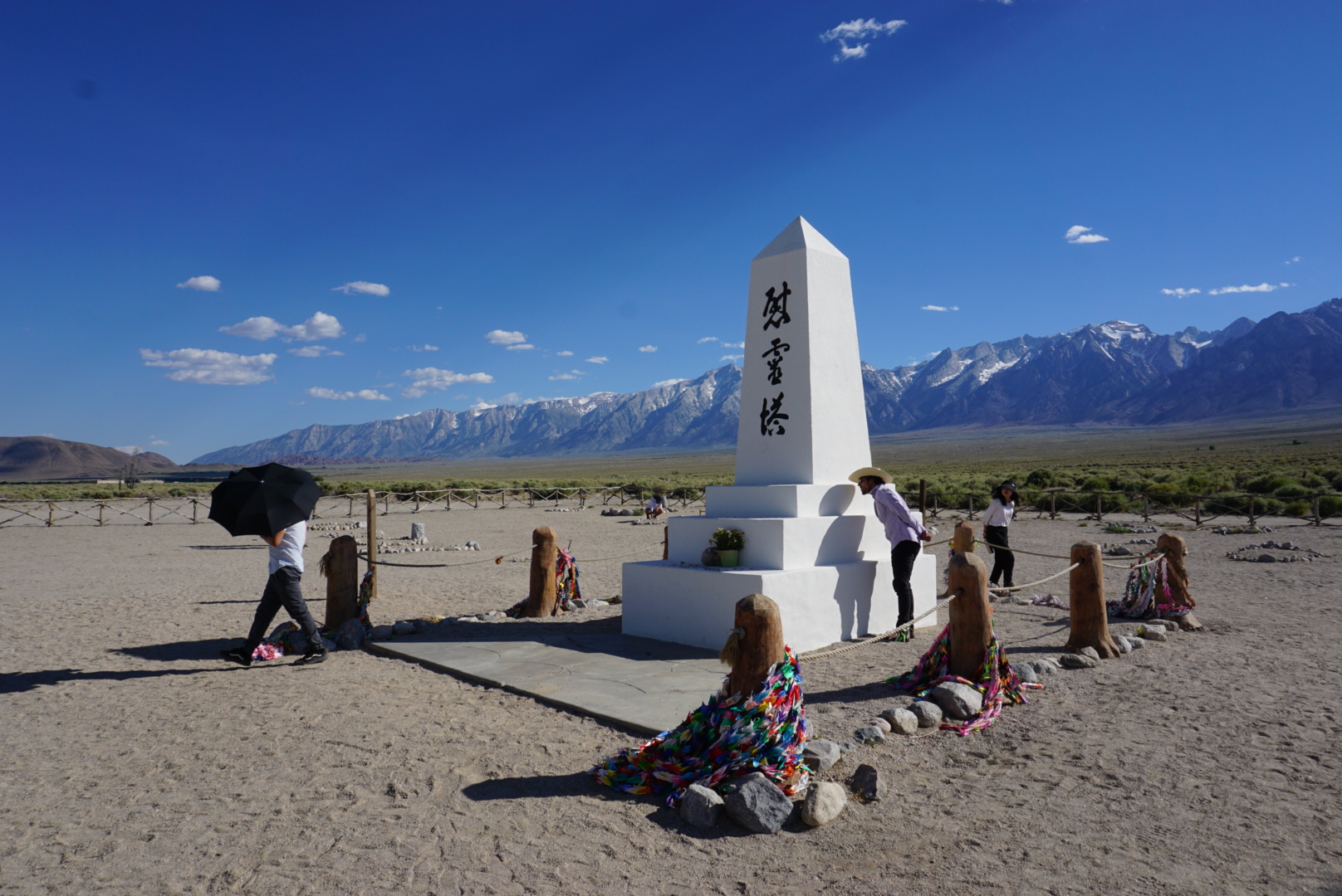
Our experiences and understandings of landscapes are shaped by “frames”—explicit and implicit; physical and metaphysical. The guided tour, the interpretive viewing device, the trail marker and sign, the museum, the reassurance of a GPS satellite locating you, Instagram–each can have a powerful hand in how we experience and ultimately know a landscape. Through the field study and practice of itineraries, interpretation, and intervention, students will unearth and understand the frame’s role in defining our embodied relations with our environment, and gain fluency in its deployment. We will visit national parks and public lands, engineering landmarks, extractive and industrial facilities, former military bases, cultural organizations, and iconic outdoor artworks.
ARCH 580
e.g. Alabama Hills, Bingham Copper Pit, Bonneville Salt Flats, Capitol Reef National Park, CLUI Wendover/Wendover Air Base, Double Negative by Michael Heizer, Epicenter, Green River, Goblin Valley State Park, Golden Spike National Monument, Great Salt Lake, Hoover Dam, Owens Lake, Spiral Jetty by Robert Smithson,S un Tunnels by Nancy Holt (2019)
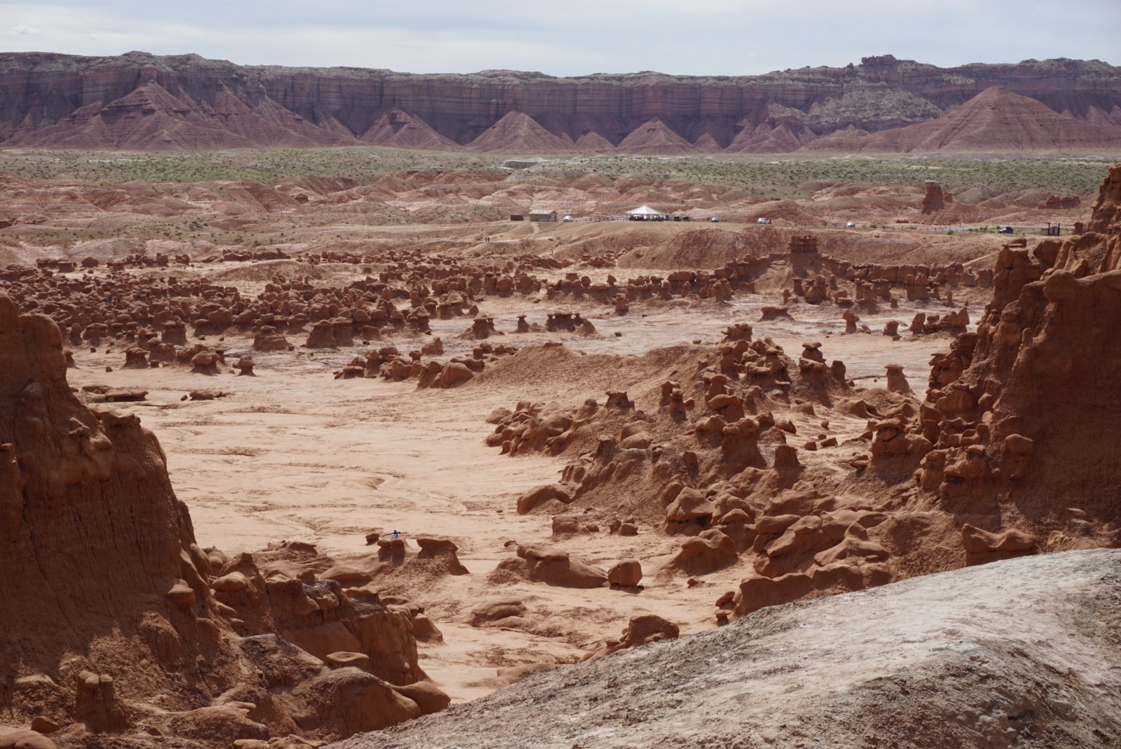
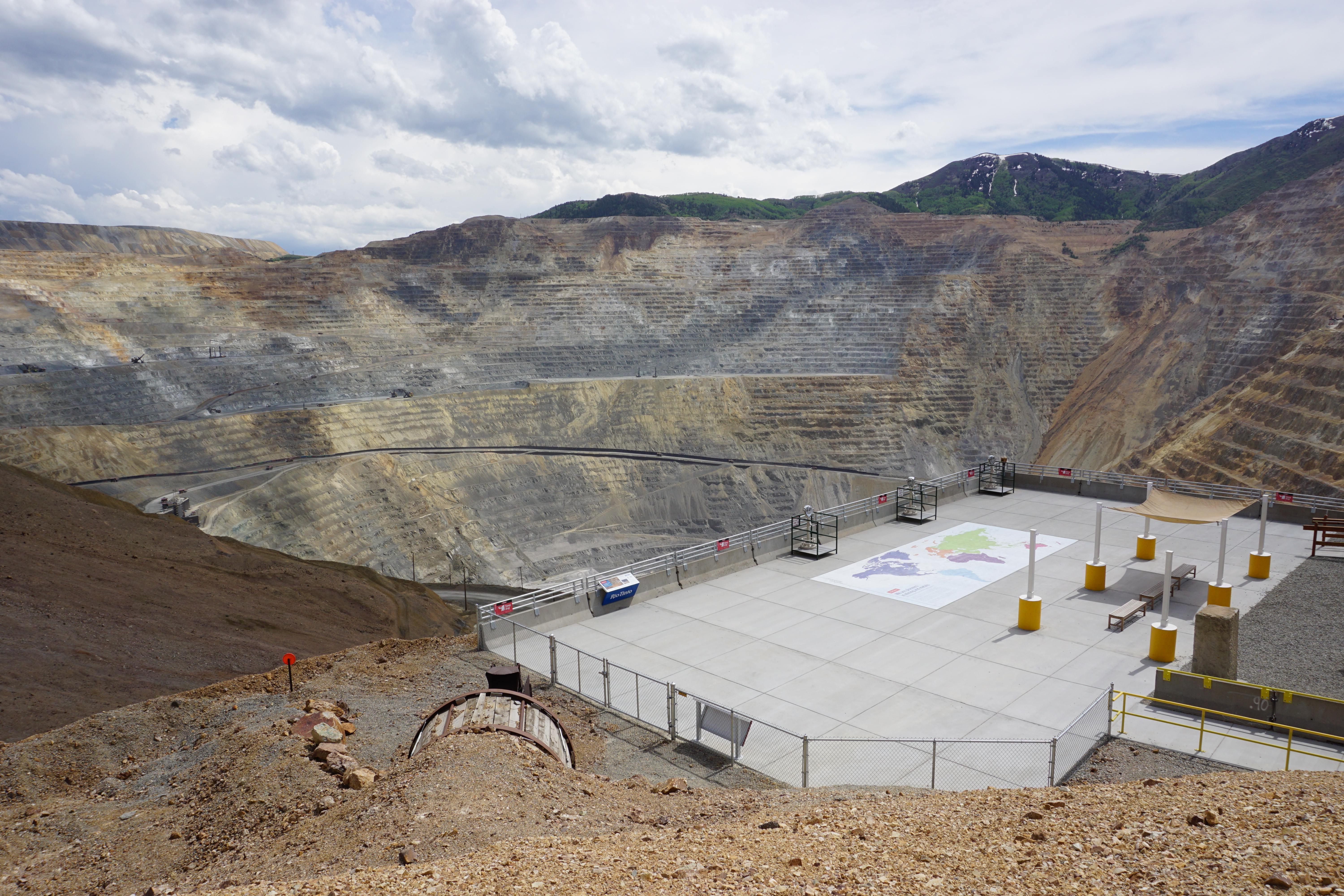
Background photo by Center for Land Use Interpretation
Copyright oOR / LMLab, 2022 — Los Angeles, CA